$1.99
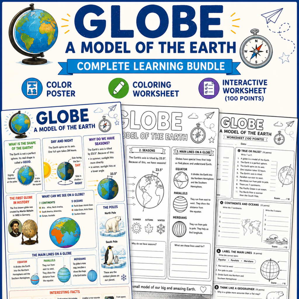
Help students master map scales, plans, and map symbols with this engaging 3-page geography resource!
This printable bundle introduces students to the concept of scale, teaches them how to measure distances on maps, and helps them understand plans of small areas and map legends. The set combines visual learning, practice activities, and creative coloring for a complete learning experience.
What’s Included
1 Color Information Poster
1 Black-and-White Worksheet (100 Points)
1 Geography Coloring Page
PDF Format
Ready to Print
Topics Covered
Worksheet Activities
Perfect For
Learning Objectives
Students will:
✔ Understand different types of map scales
✔ Calculate real and map distances
✔ Interpret map legends and symbols
✔ Read simple plans and maps
✔ Develop critical thinking and map-reading skills
File Details
Format: PDF
Pages: 3
Language: English
Print Size: US Letter / A4 Compatible
This resource is an excellent addition to geography units on maps, scale, navigation, and spatial thinking.
/5
Total reviews
|
|
Persons recommended this product
Anonymous
Shopper
check_circle Verified
Shop owner replied
Was this helpful
Anonymous
Shopper
check_circle Verified
Shop owner replied
Was this helpful
There are no reviews yet.
Be the first to review “ ”
Your feedback helps us improve our service.
Only logged in customers who have purchased this product may leave a review
,
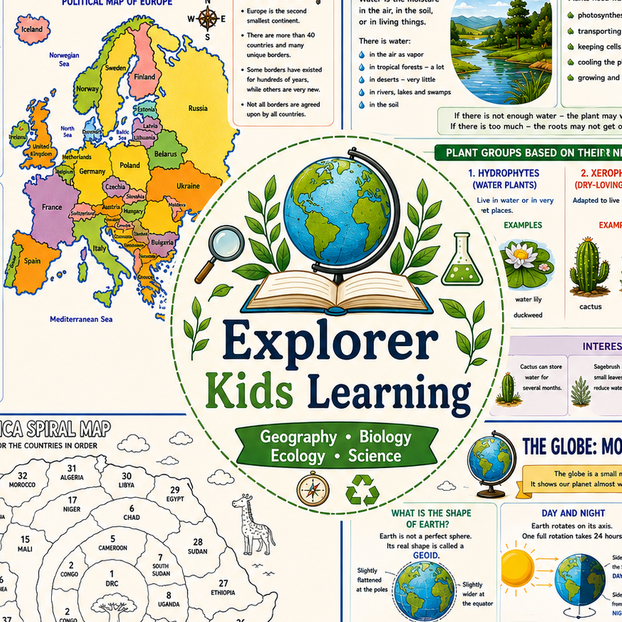
Educational resources for children ages 5–14. Geography, Biology, Ecology, and Science posters, worksheets, learning activities, student assignments, mini-books, and coloring pages. Designed to make learning visual, engaging, and memorable for classrooms, homeschooling, and online learning.
Come for the Resources.
Stay for the Community.
2025 Copyright Tech and Mortar, LLC